 Download catalog
 Technical support
 Check your order
 Tiếng Việt
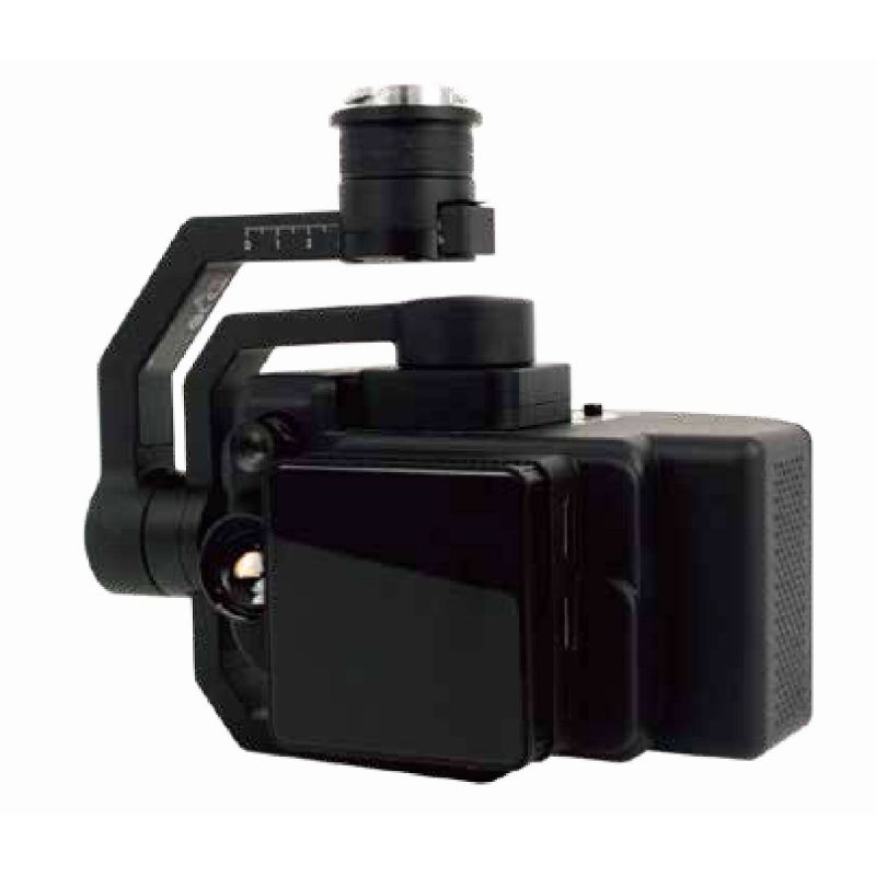
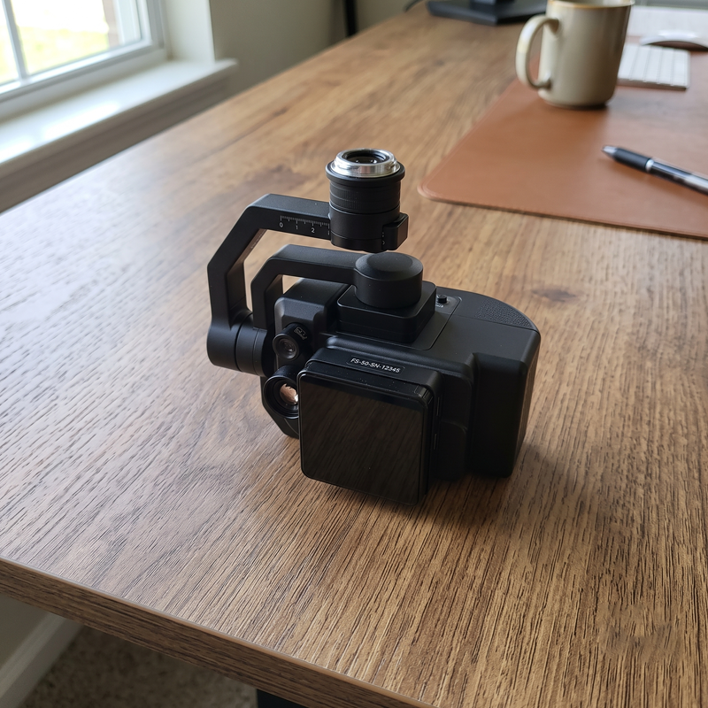
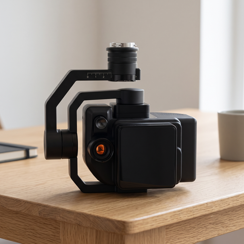

CHN SPEC FS-50/30 Multispectral Camera (400~1000nm, 30 Spectral Channels)
Contact
SKU: FS-50/30
Origin: China




Product Details
CHN SPEC FS-50/30 Multispectral Camera (400~1000nm, 30 Spectral Channels)
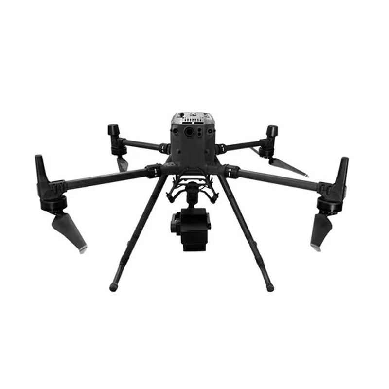
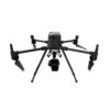
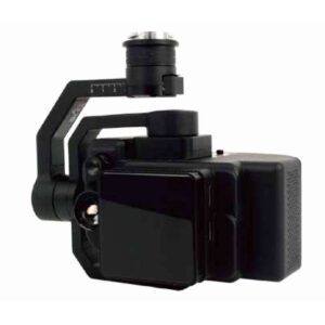
CHN SPEC FS-50/30 Multispectral Camera (Wavelength Range 400~1000nm, 30 Spectral Channels) is a next-generation spectral imaging scan camera that strikes a perfect balance between high analytical performance and optimized investment costs. Specially designed for integration onto industrial unmanned aerial vehicles (UAVs) such as the DJI Matrice series, the device delivers intuitive spatial data collection capabilities, supporting advanced real-time analysis.
Featuring 30 spectral channels operating across a wide wavelength range from 400nm to 1000nm, the CHN SPEC FS-50/30 is an ideal remote sensing solution for precision agriculture and forestry, environmental monitoring, and field surveys.
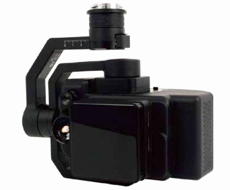
Key Features of CHN SPEC FS-50/30
1. Precise Spectral Separation with 30 Specialized Channels
Operating within the VNIR (Visible and Near-Infrared) wavelength range, the FS-50/30 provides up to 30 independent spectral channels with an evenly spaced output wavelength interval of 20nm. Combined with a spectral resolution (FWHM) of ≤ 6.0nm and a high spatial resolution of 1920 pixels (2K), the camera captures the complete “spectral signature” of vegetation canopies or material surfaces, detecting subtle anomalies that conventional RGB cameras easily miss.
2. Global Shutter Technology for Blur-Free Imaging
Utilizing a premium 1/1.1-inch CMOS sensor integrated with Global Shutter technology, the device completely eliminates motion distortion or blur (jello effect). Even when the UAV flies at high speeds or encounters strong wind vibrations, the captured image data maintains high sharpness and absolute pixel-level integrity.
3. Lightweight and Compact Design Optimized for Aerial Operations
- Ideal Weight: Extremely light body weight (≤ 840g) and a compact mechanical structure (≤ 155 × 95 × 119 mm) reduce payload stress, optimize battery capacity, and extend the UAV’s flight time.
- Seamless Compatibility via DJI X-Port: Plug-and-Play connectivity via the DJI X-Port allows direct synchronization with the drone’s operating system, enabling gimbal control commands and safe, stable power supply.
- High-Speed SSD Storage: Integrated with a dedicated 512GB SSD, meeting the ultra-fast data writing requirements of 12-bit spectral imagery during long flight missions without bandwidth bottlenecks.
4. Synchronized Data Processing Software System
The product comes with a professional software ecosystem that shortens post-processing time from raw to refined data:
- FIGSPEC UAV: Monitors flight paths and controls online data collection in real time.
- FIGSPEC Merge: Automatically stitches spectral image slices into a complete 2D map.
- FIGSPEC Studio: Provides in-depth analysis, extracting data based on popular index algorithms (NDVI, NDRE, LCI, etc.) to deliver visual reports on crop health, biomass density, or pollution status.
Technical Specifications:
Number of spectral channels: 30
Spectral channel wavelength: 400–1000 nm, approx. 20 nm output per wavelength
Spectral resolution / Full width at half maximum (FWHM): 3.5 nm
Spatial resolution: 1920
Sampling rate: 128 lines/sec
Image sensor: 1/1.1-inch CMOS
Effective pixels: 1920
Shutter type: Global Shutter
Quantization: 12 bit
Field of View (FOV): 25.36°
Ground resolution: 2.8 cm @ 120 m altitude
Swath width: 54 m @ 120 m altitude
Optical window: High-transmission optical glass
Main device dimensions: ≤ 155 × 95 × 119 mm
Main device weight: ≤ 840 g
Installation / Power supply port: X-Port
Power consumption: 45 W
Image format: 12-bit .SPE (compatible with third-party analysis software such as ENVI)
Data storage capacity: 512G SSD
Application software: FIGSPEC UAV real-time flight control software, FIGSPEC Merge image stitching software, FIGSPEC Studio image analysis software
Shooting method: Real-time recording
Practical Applications:
With its versatile 30-channel spectral configuration, the CHN SPEC FS-50/30 perfectly meets the surface data digitization needs of various industries:
- Smart Agriculture: Assessing crop health over large areas, zoning water-stressed or fertilizer-deficient areas, detecting early pest and disease outbreaks before they spread, and estimating agricultural crop yields.
- Forestry Resource Management: Classifying woody plant species groups, evaluating forest canopy density, and measuring plant biomass moisture to build early forest fire warning maps.
- Environmental Quality Monitoring: Surveying surface water pollution in rivers, lakes, and aquaculture areas; tracking toxic algal blooms or monitoring reservoir sedimentation.
- Geological Survey & Reconnaissance: Assisting in the identification of rock and soil composition, mapping surface mineral distribution, and supporting search and rescue missions as well as artificial material analysis in field reconnaissance.
The CHN SPEC FS-50/30 multispectral camera is a reliable high-tech solution that comprehensively upgrades aerial survey capabilities, delivering data analysis with scientific precision and driving decision-making efficiency for all corporate projects.
Reviews (0)
No comments yet
Related products
- SKU: TS8280
- Origin: China
- Warranty: 12 Months

- SKU: YS6020
- Origin: China
- Warranty: 12 Months
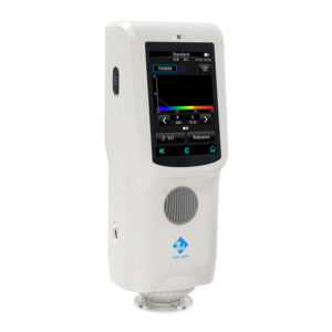
- SKU: TS7030
- Origin: China
- Warranty: 12 Months
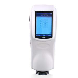
- SKU: NS810
- Origin: China
- Warranty: 12 Months
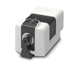
- SKU: CM-36dGV
- Origin: Japan
- Warranty: 12 Months
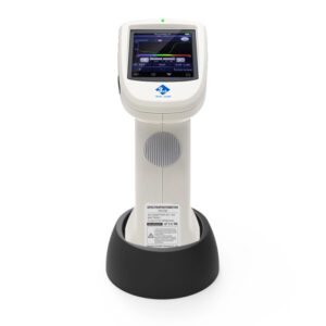
- SKU: TS7708
- Origin: China
- Warranty: 12 Months

- SKU: MS3003
- Origin: China
- Warranty: 12 Months
- SKU: 255110250
- Origin: China
- Warranty: 12 Months

- SKU: YS6002
- Origin: China
- Warranty: 12 Months
- SKU: YD5010
- Origin: China
- Warranty: 12 Months

- SKU: YD5050
- Origin: China
- Warranty: 12 Months
Bạn vui lòng nhập đúng số điện thoại để chúng tôi sẽ gọi xác nhận đơn hàng trước khi giao hàng. Xin cảm ơn!
There are no reviews yet.